
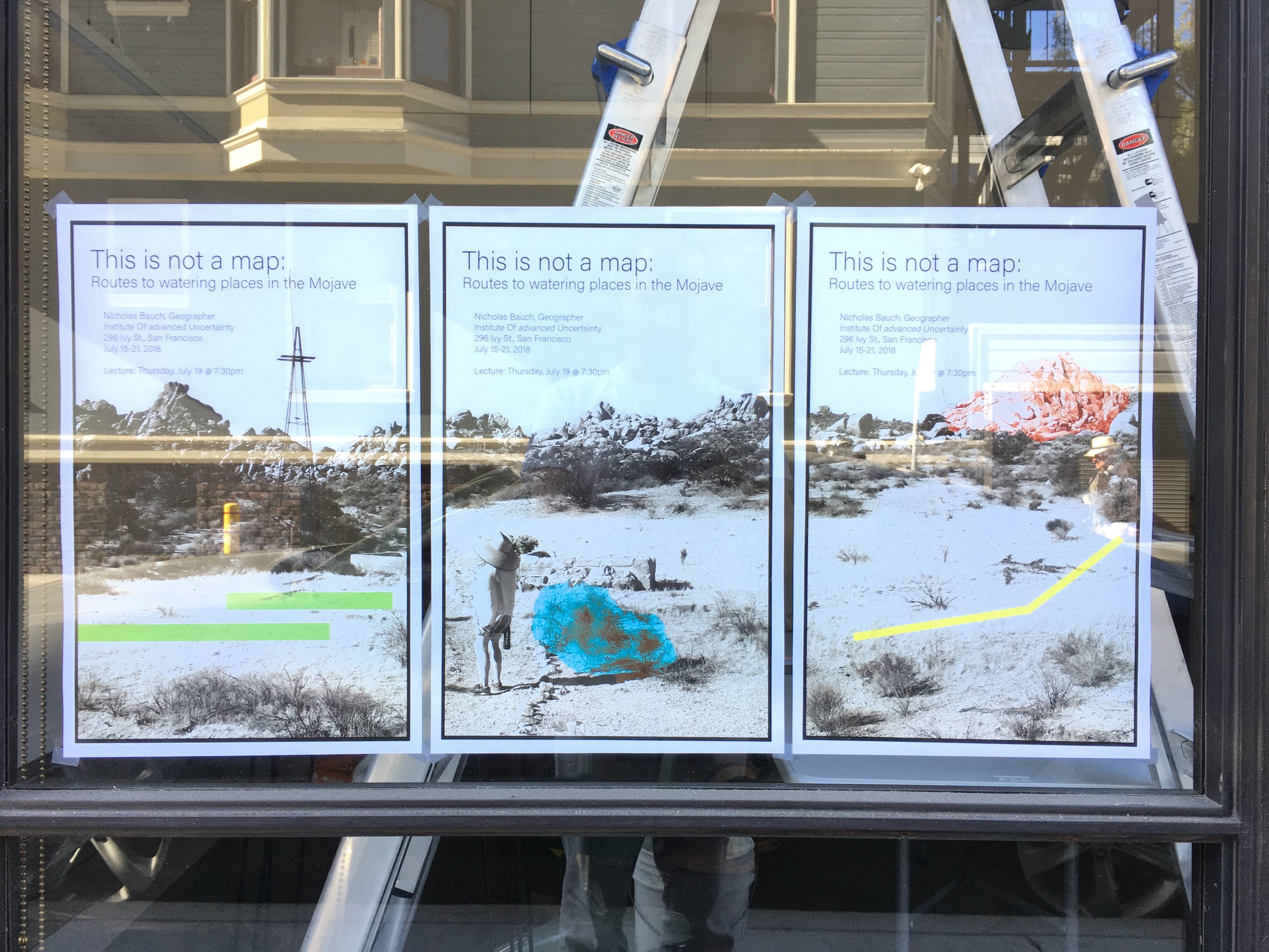
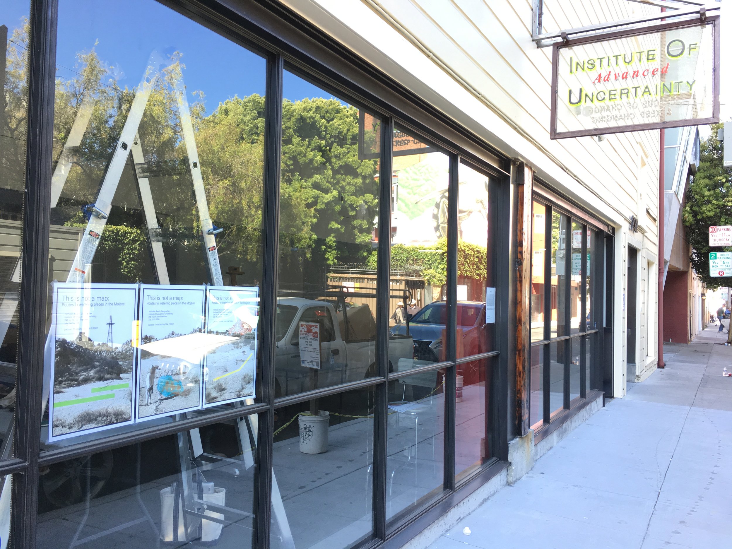
This is Not a Map
Routes to Watering Places in the Mojave Desert
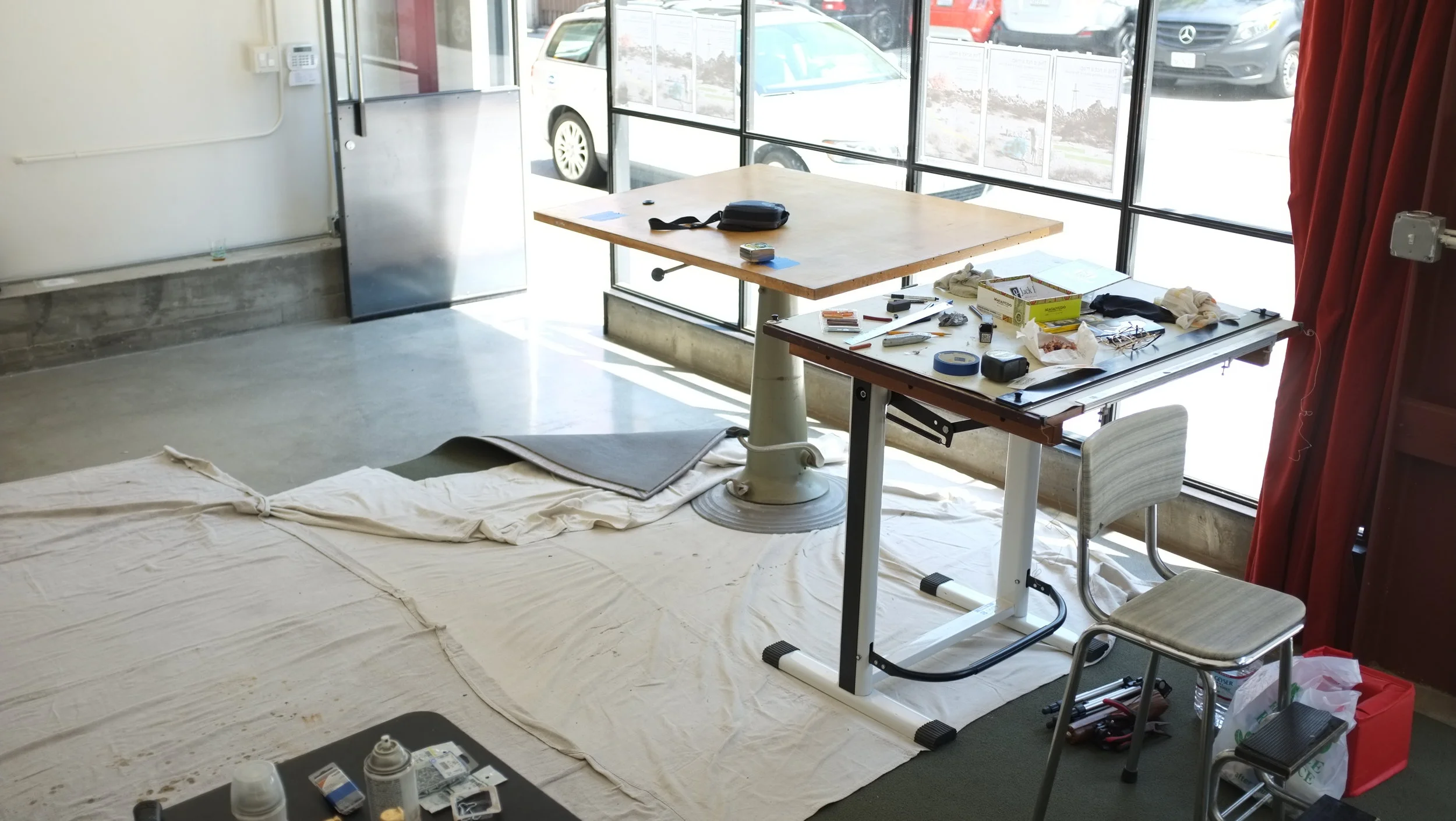
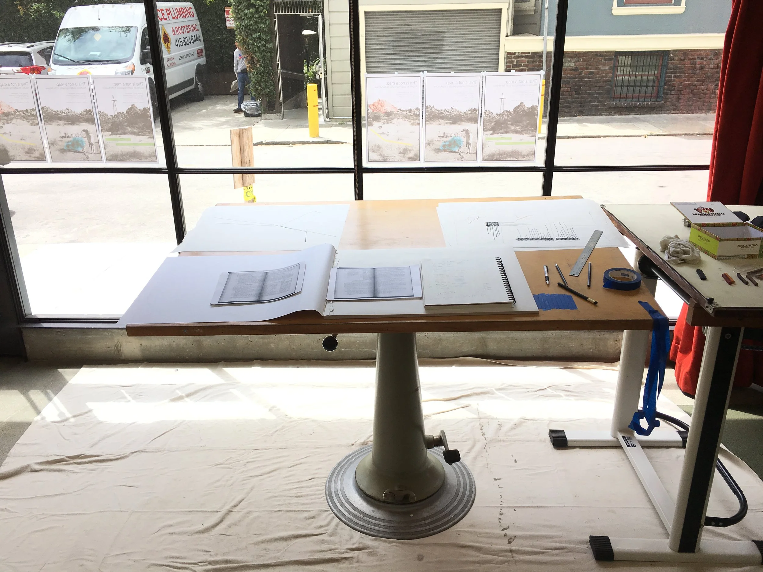
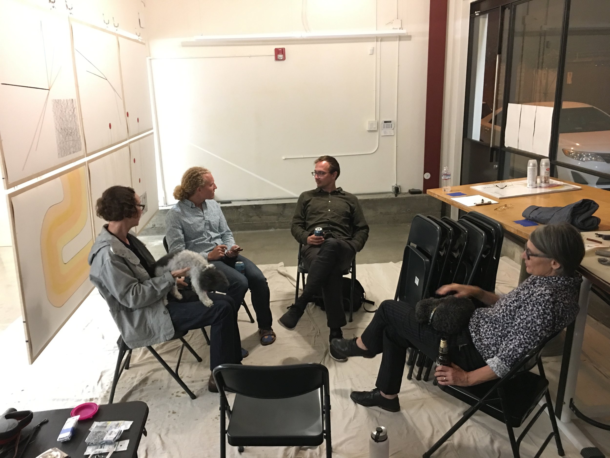
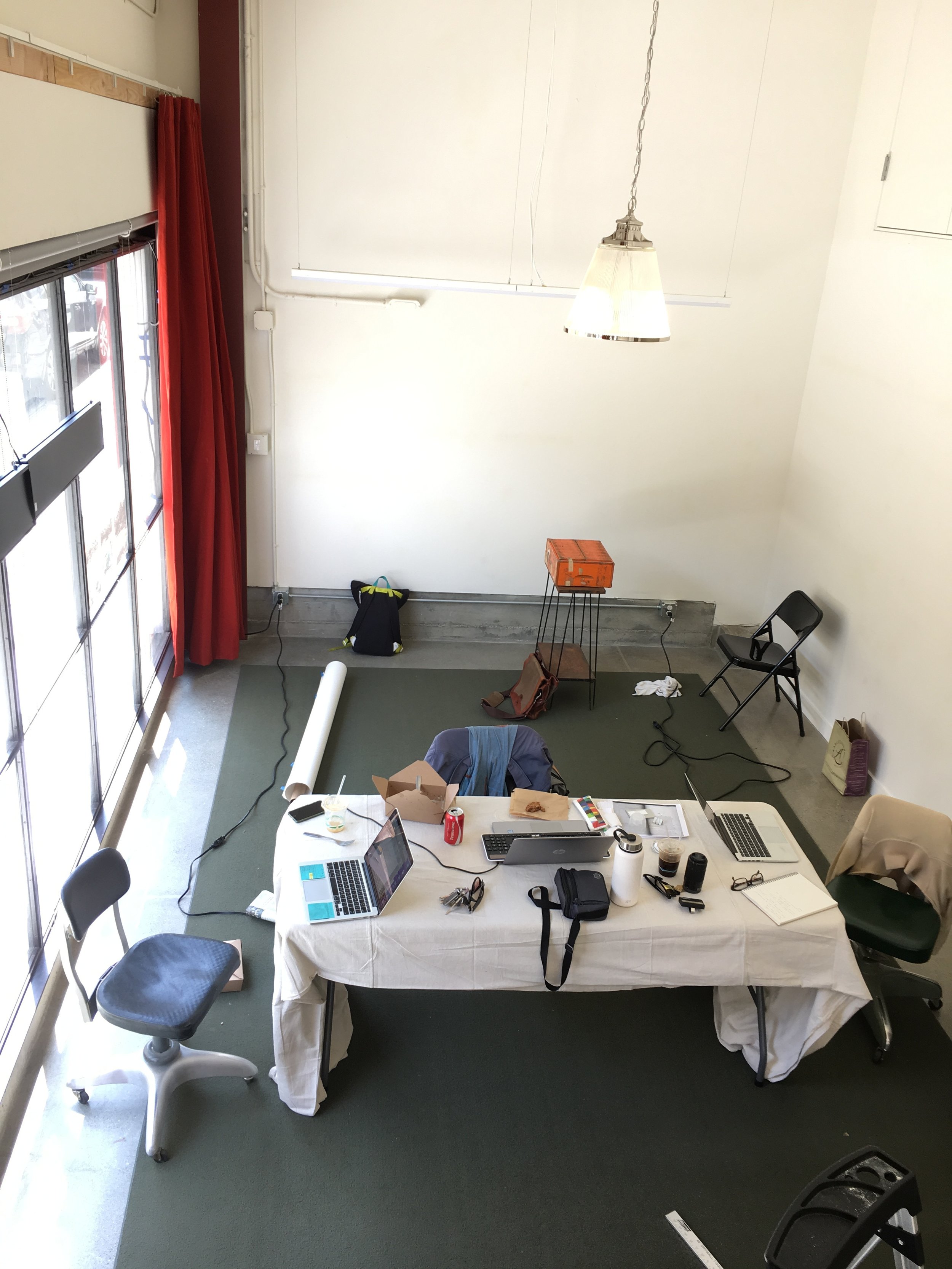
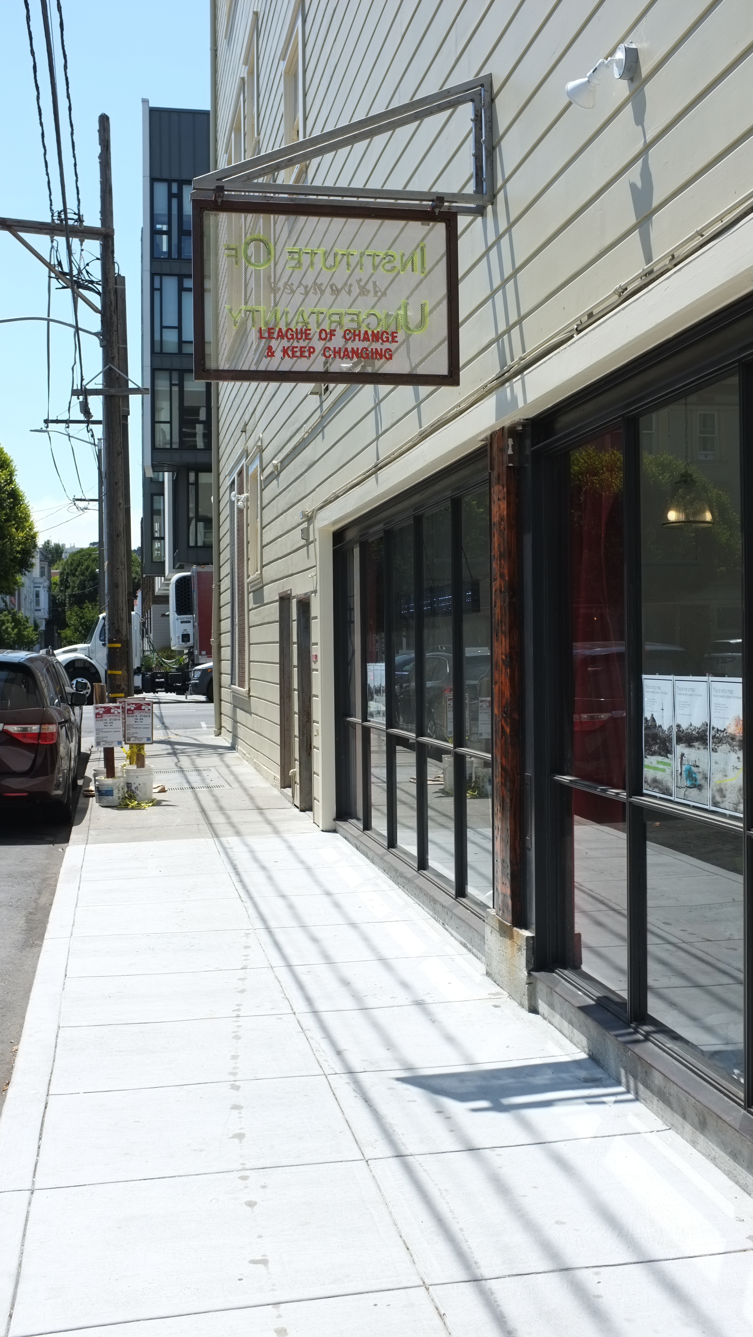
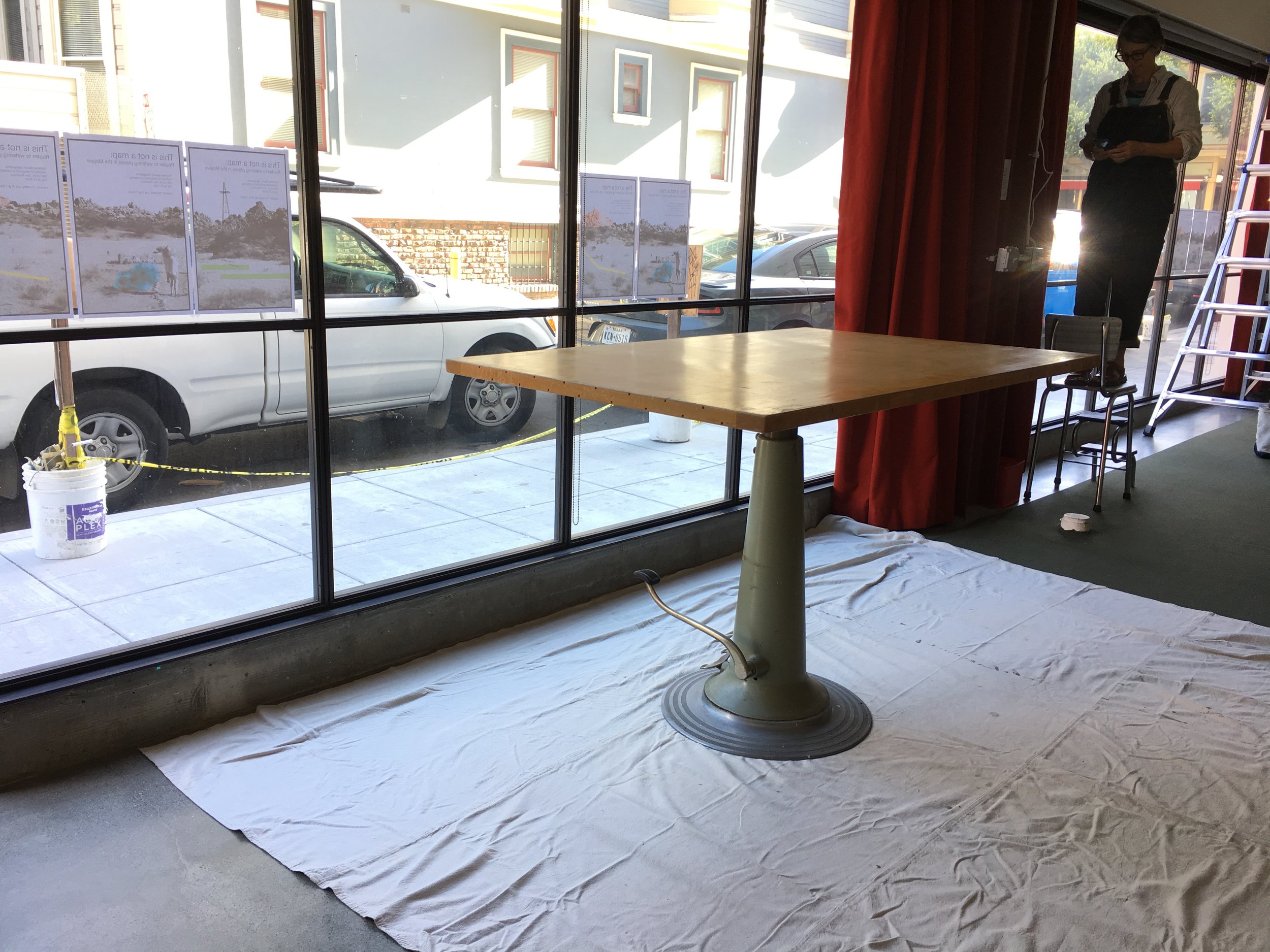
Residency at the Institute Of advanced Uncertainty (I.O.U.)
July 15-21, 2018 | San Francisco, Calif.

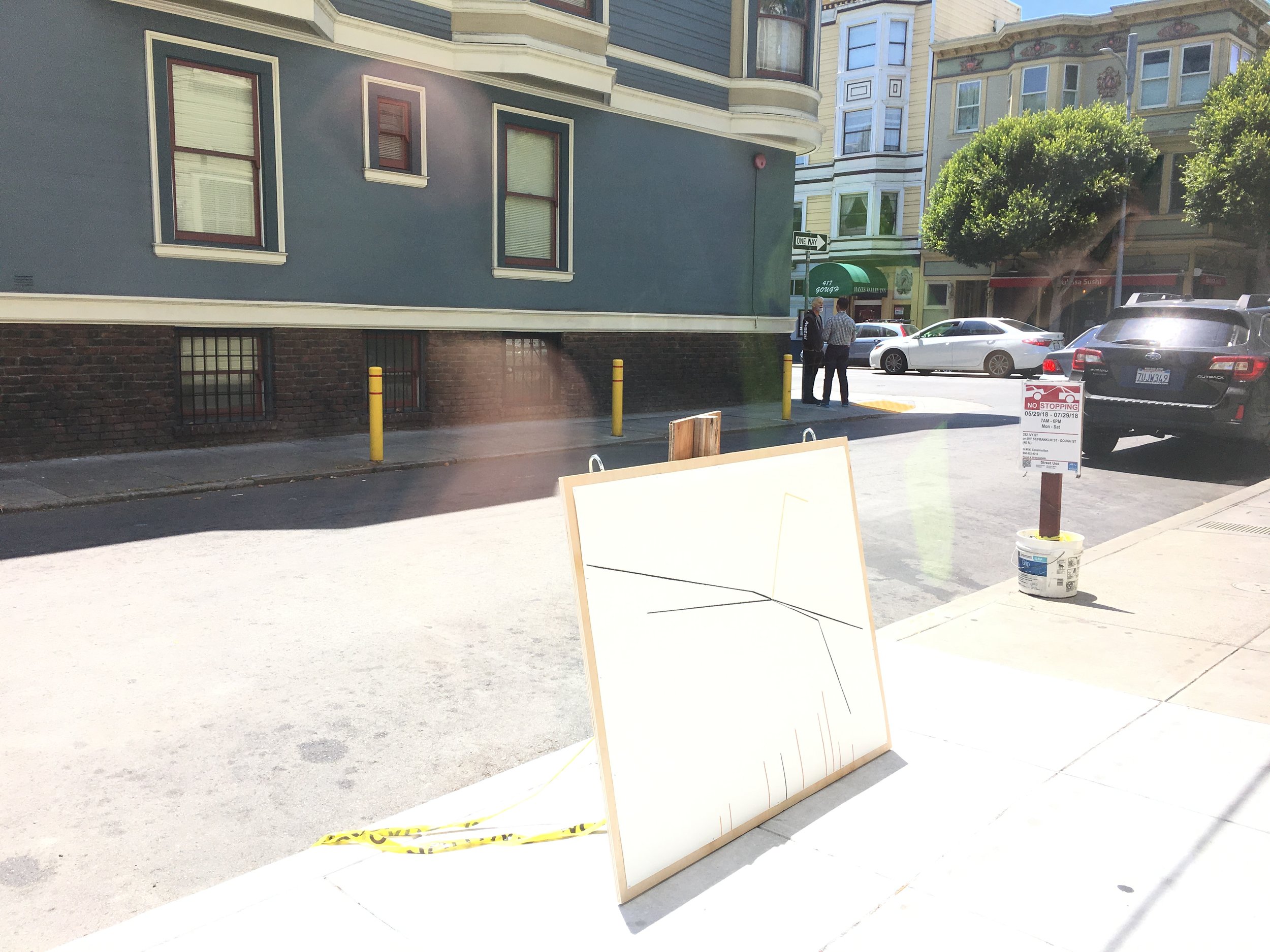
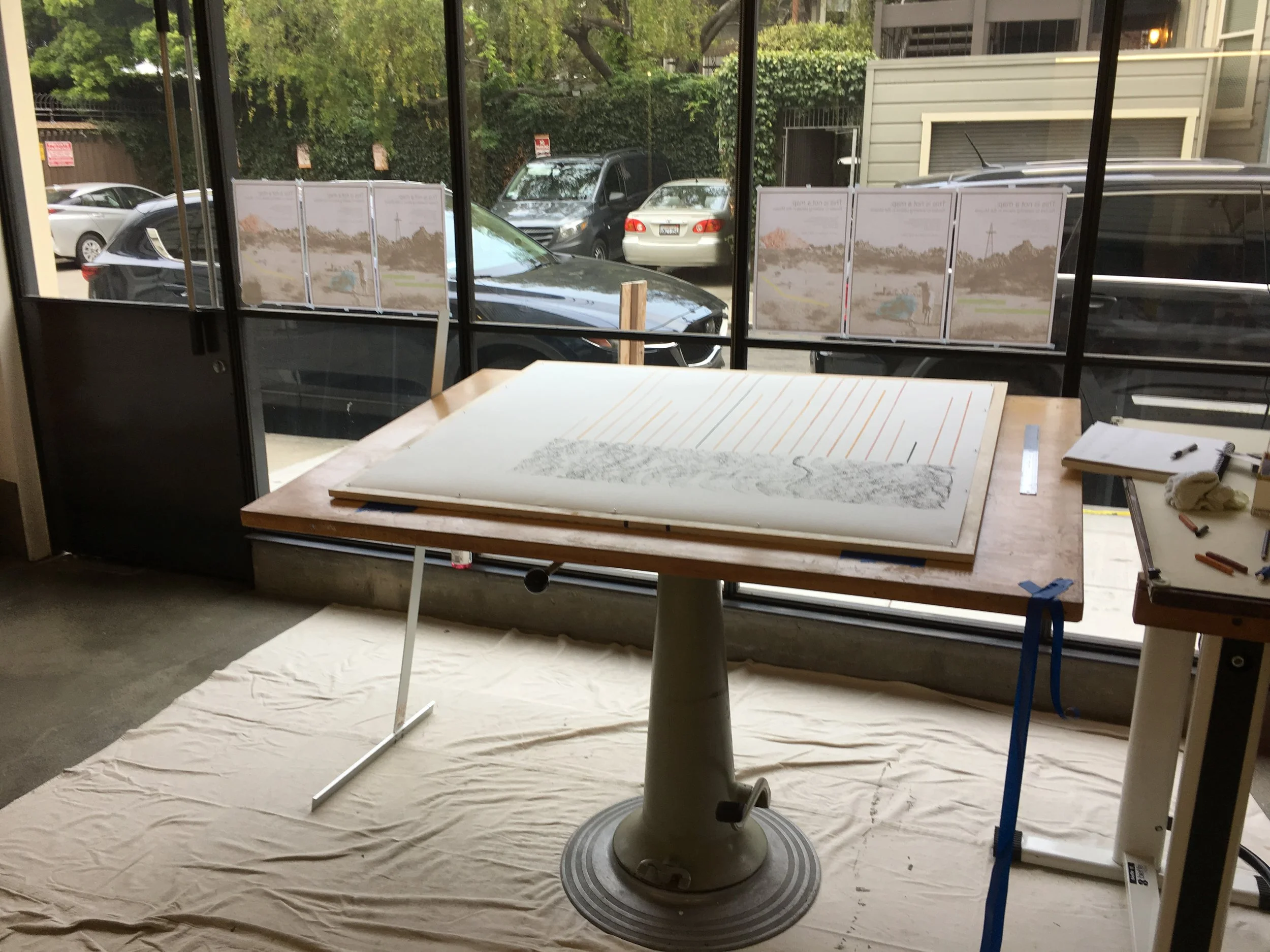
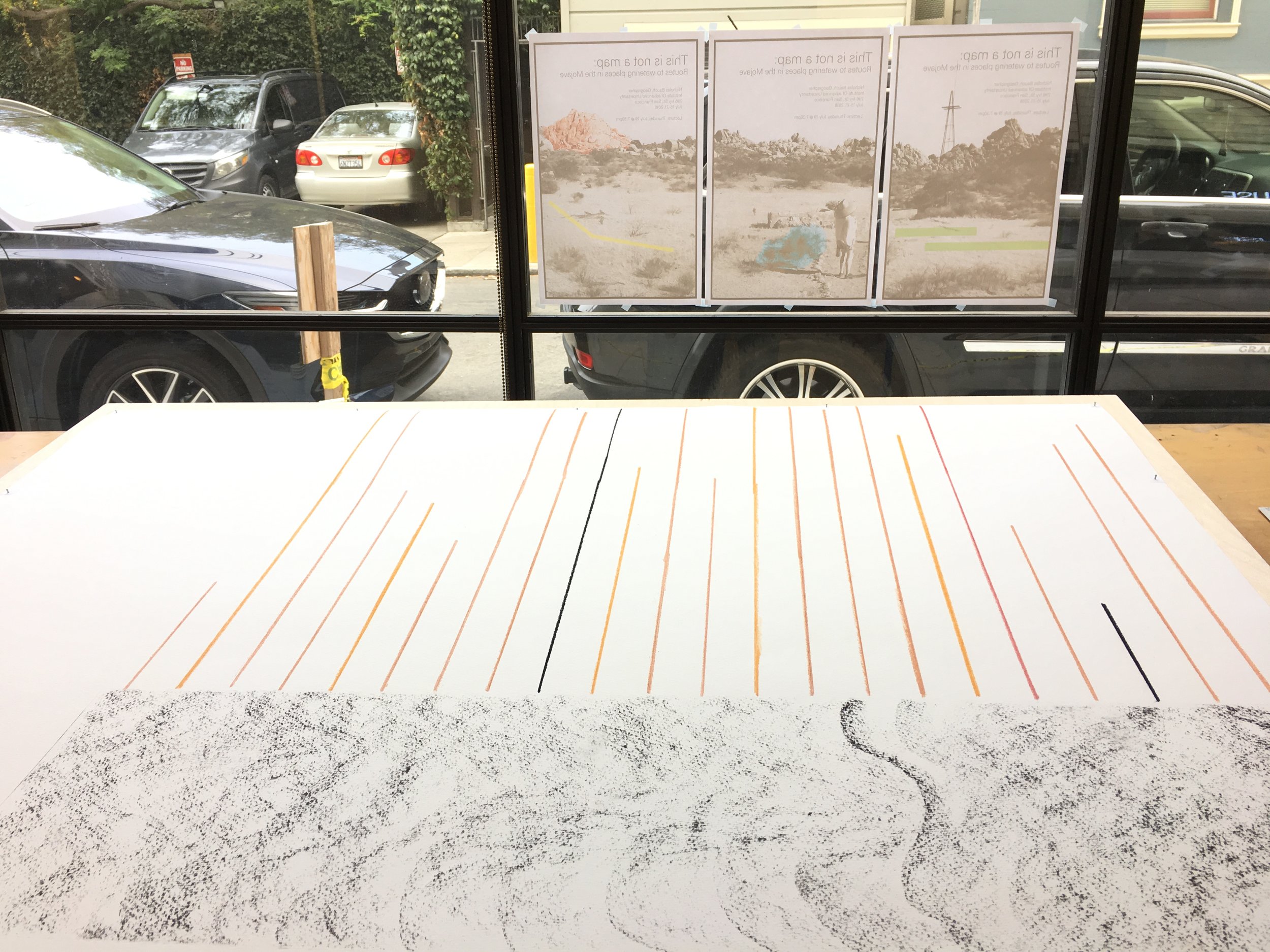
In this project I translate a historical-geographical textual document into creative graphic form. It might be called mapmaking, though that would be too scientific. It might be called graphic design, though that would be too instrumental. The document under investigation is called Routes to Desert Watering Places in the Mohave Desert Region, California, written in 1921 by a USGS operative named David G. Thompson. Over 200-odd pages, Thompson gives route descriptions, mile by mile, for different ways of traversing the Mojave Desert at a time when its urban bookends were much smaller cities (Las Vegas 1920 pop. = 2,300; Los Angeles 1920 pop. = 576,000).
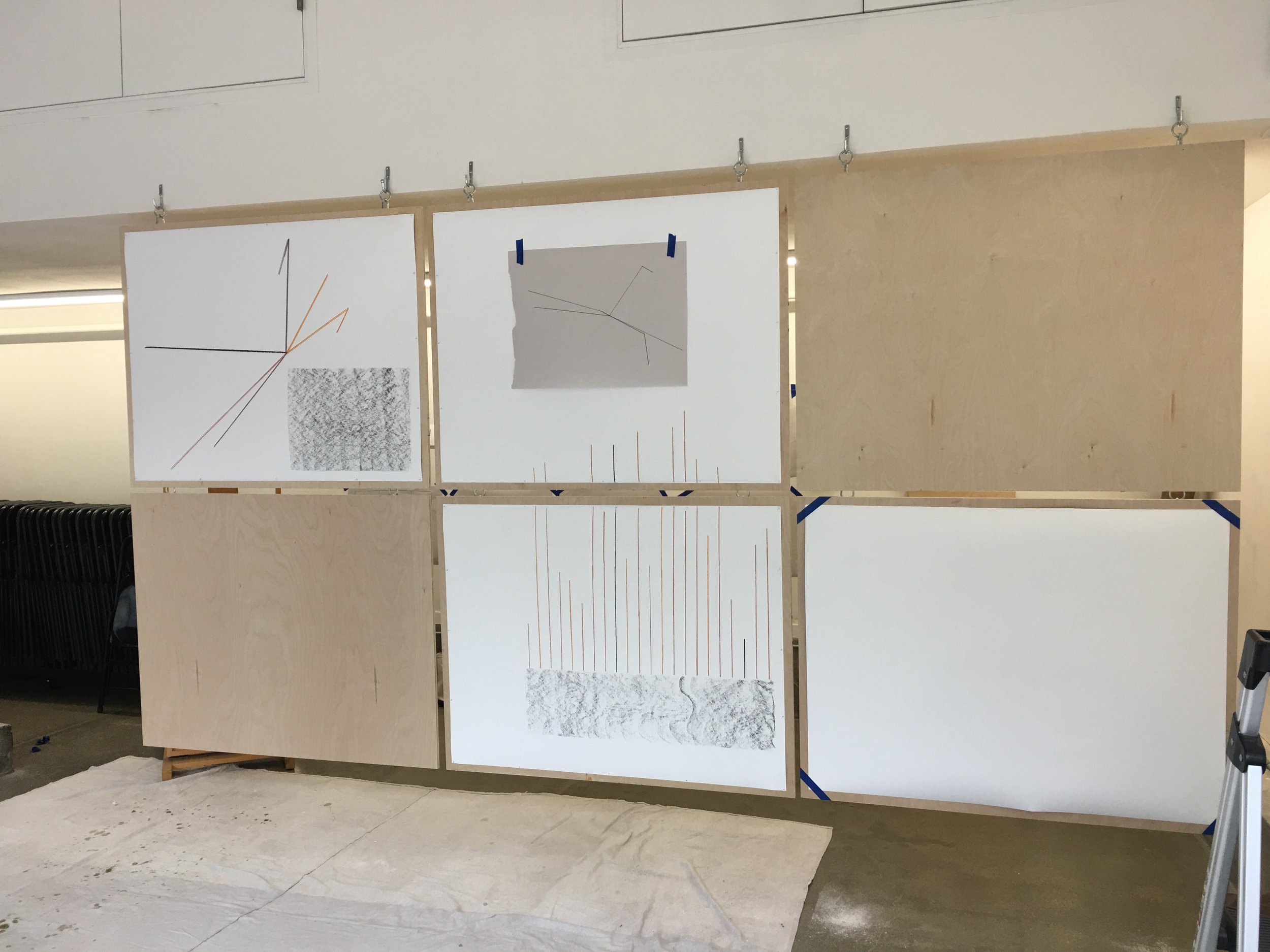
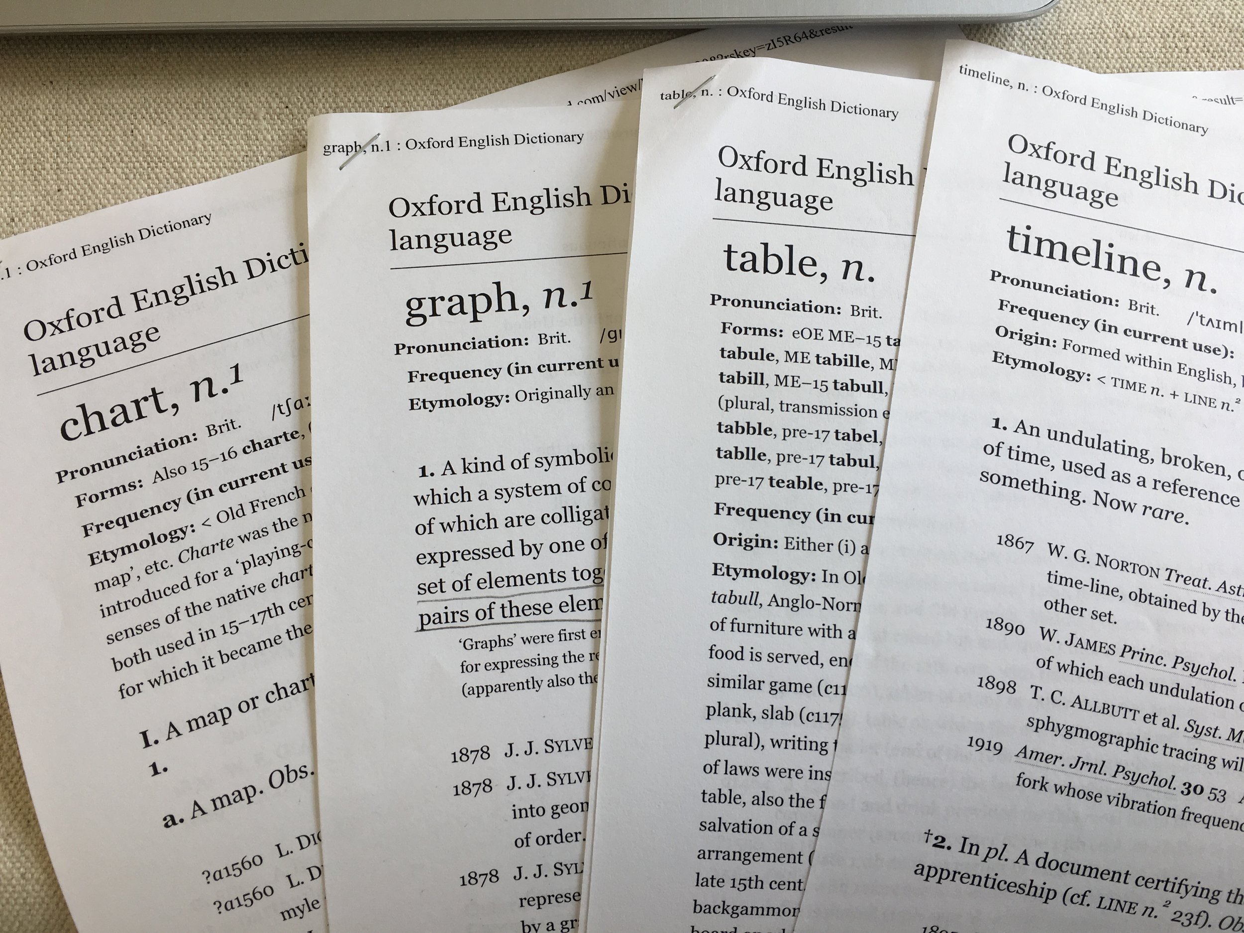
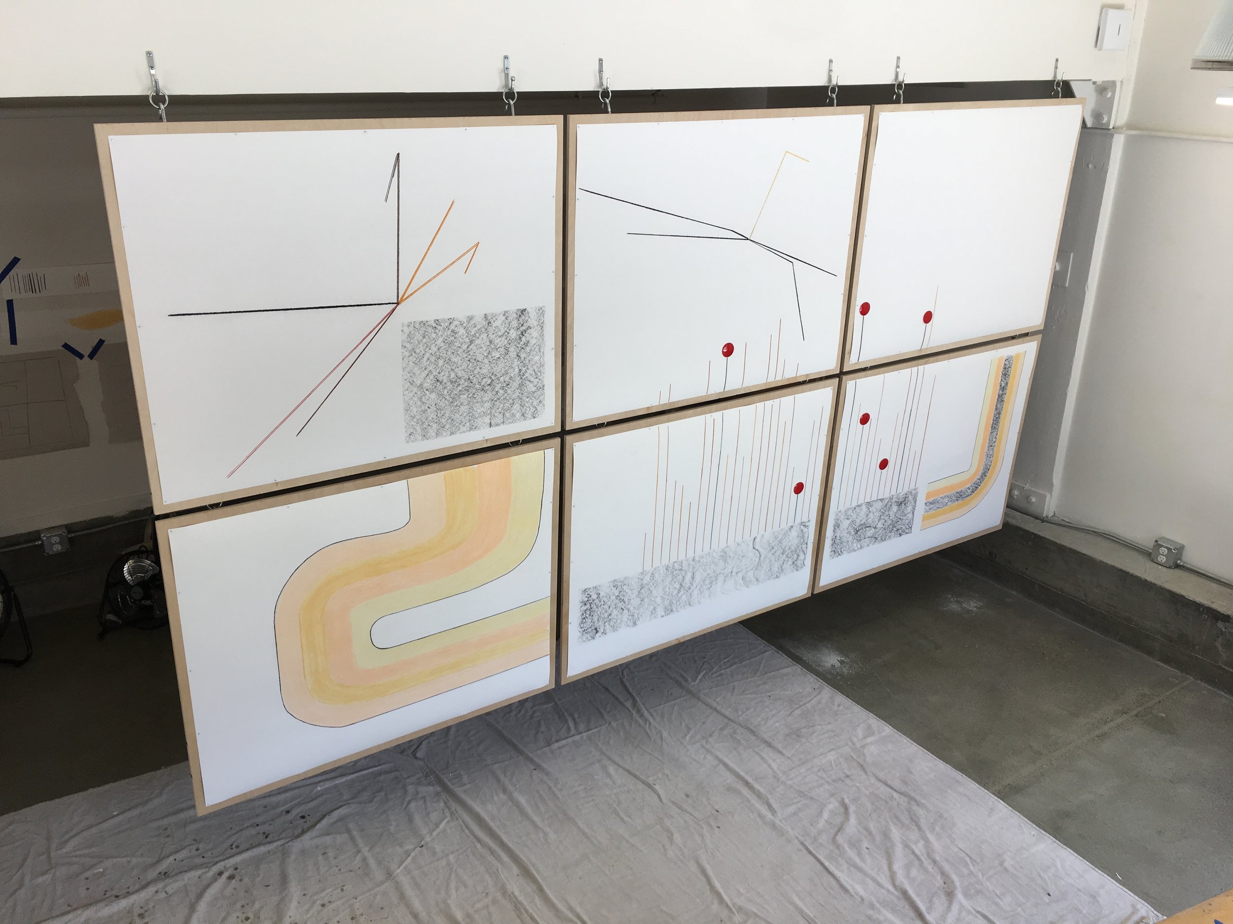
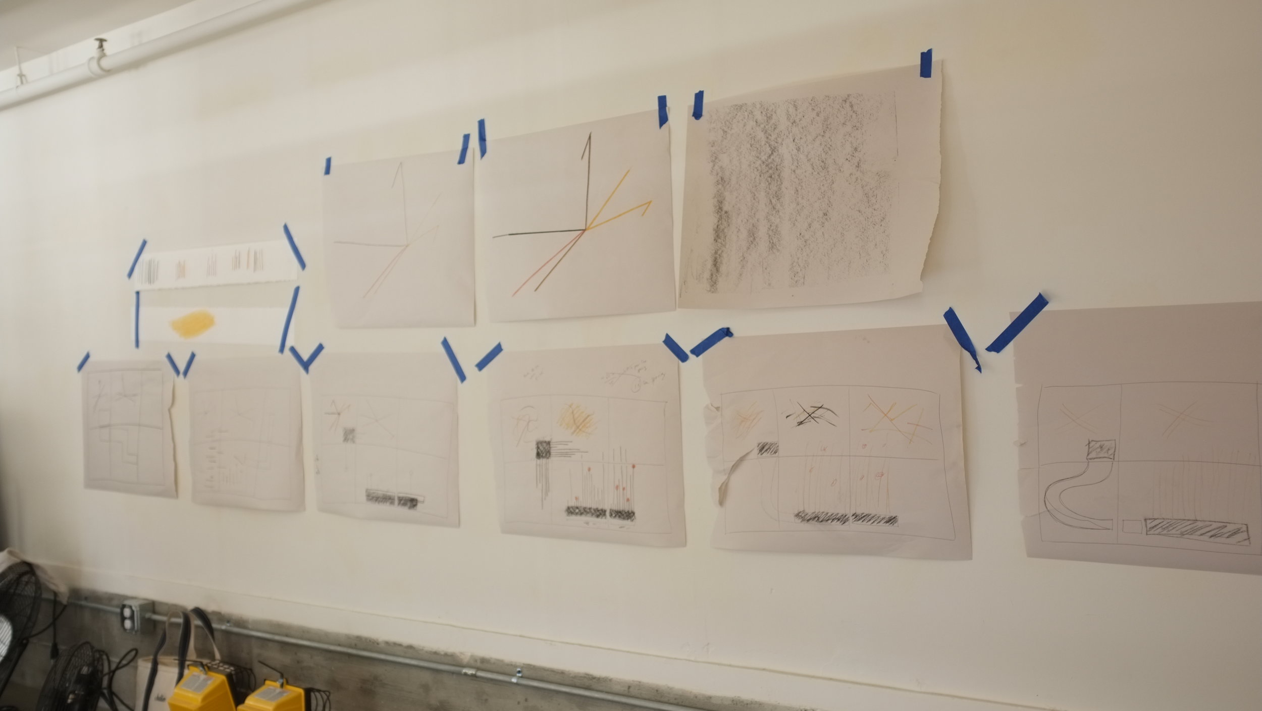
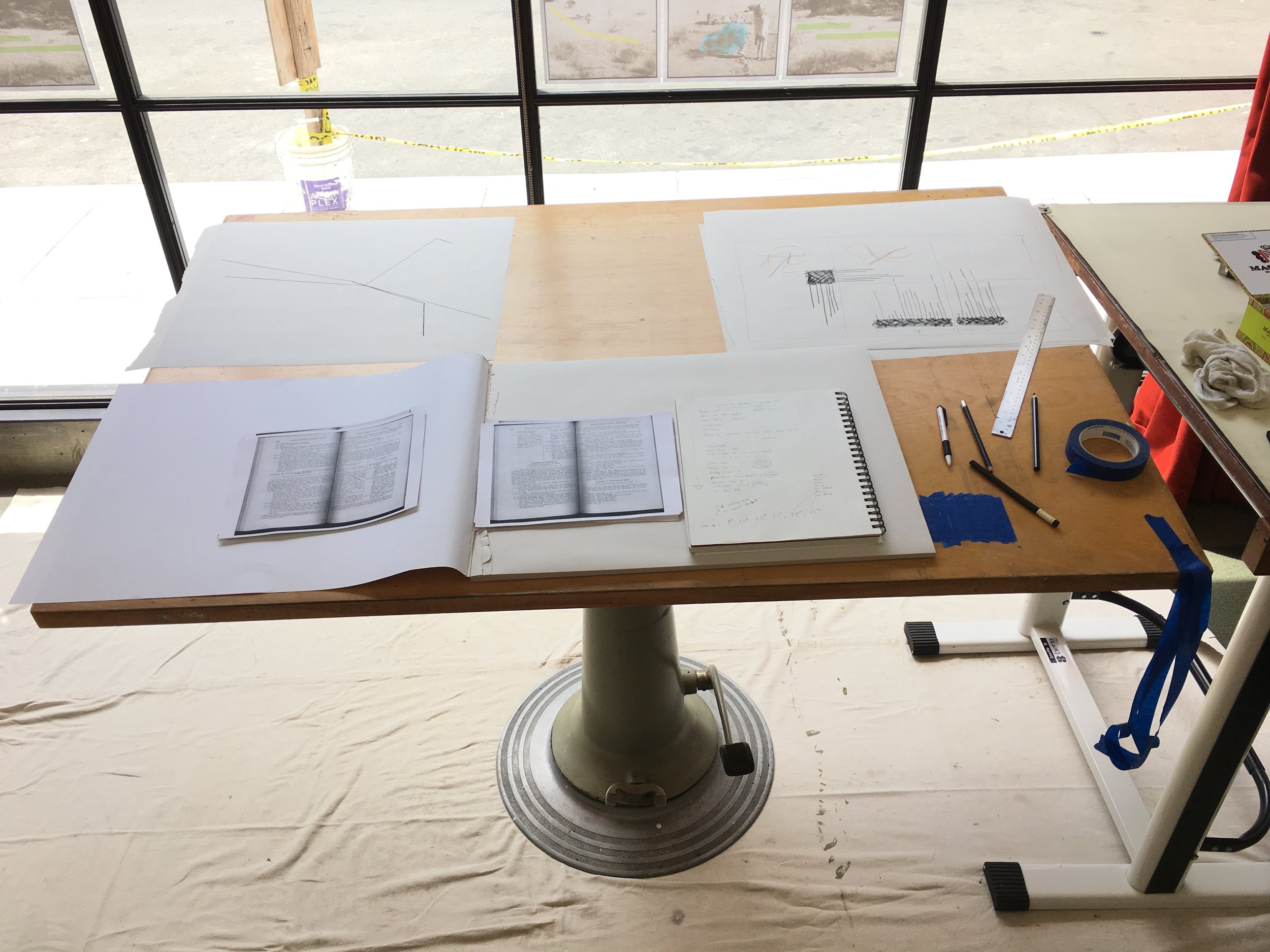
There are many ways one might approach reading this historical document about the Mojave. The lens I choose for this project is Johanna Drucker’s intellectual history of visual forms of knowledge production (Graphesis, 2014, Harvard U. Press). Here, Drucker traces how inherited visual forms (like graphs, timelines, charts, and tables) each contain a way of knowing that often goes unacknowledged, working quietly in the background. She shows that there are many assumptions in our default visual forms. Using a table, for example, to express data carries with it unspoken messages about the purpose of expressing information in the first place (e.g. to master time, space, or information).

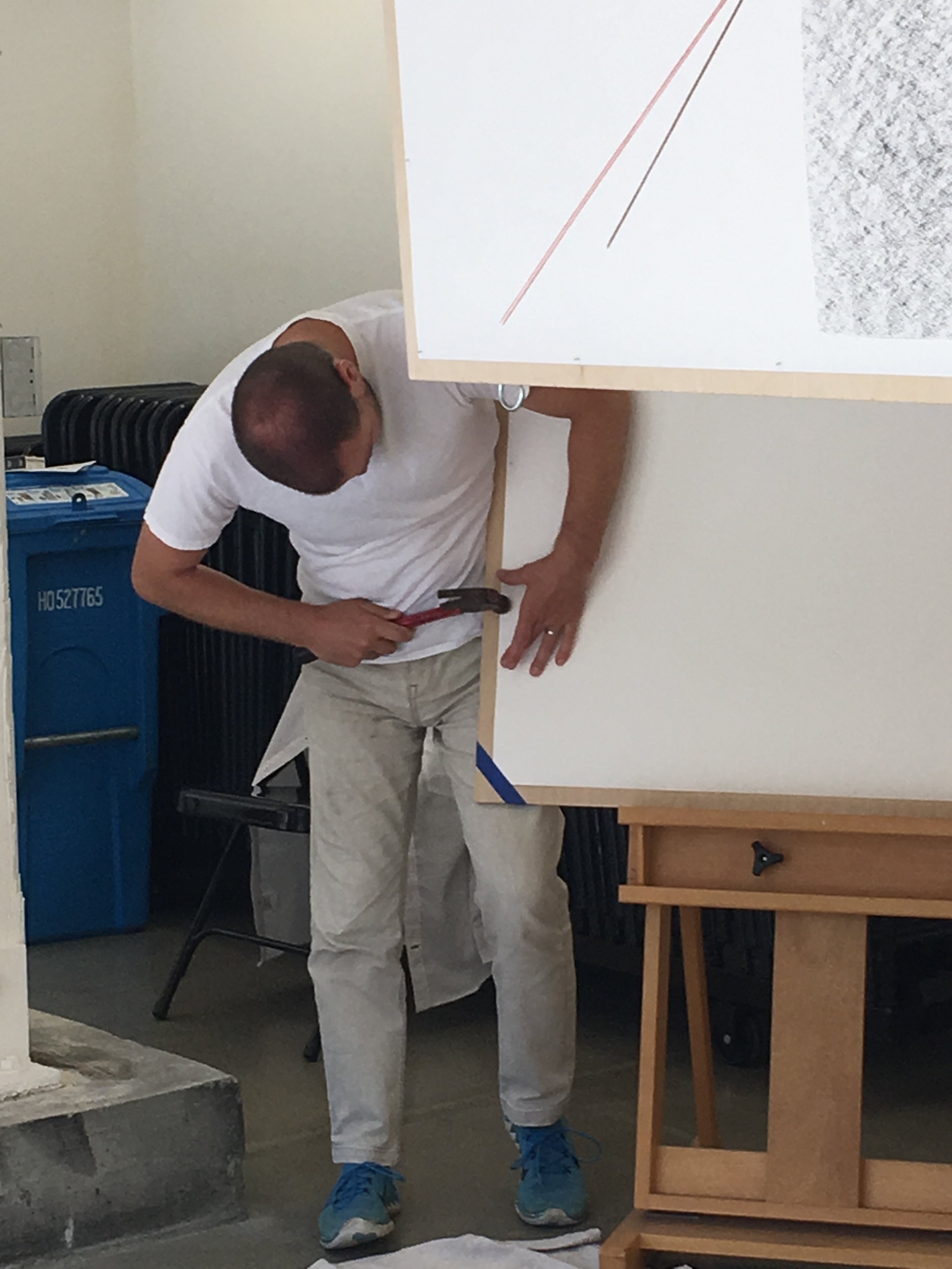
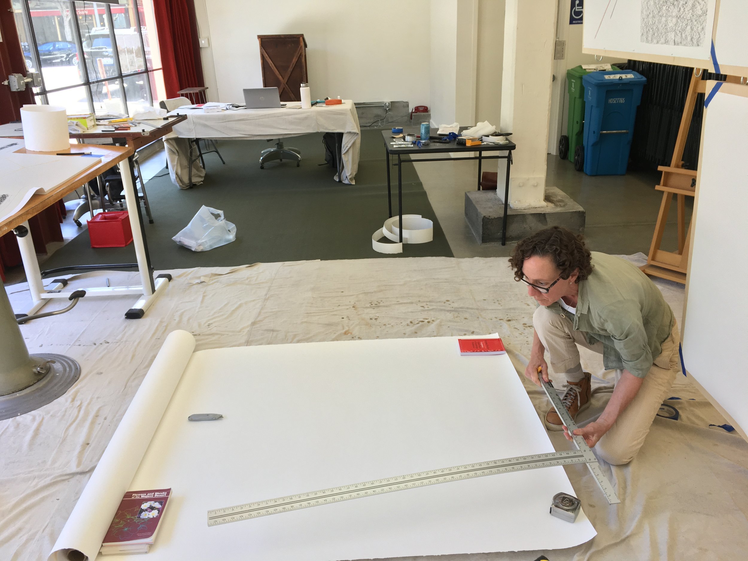
This is a time lapse video that Julie Leavitt made with a GoPro camera, documenting a week of the residency. The other person who appears frequently in the footage is Maria McVarish.
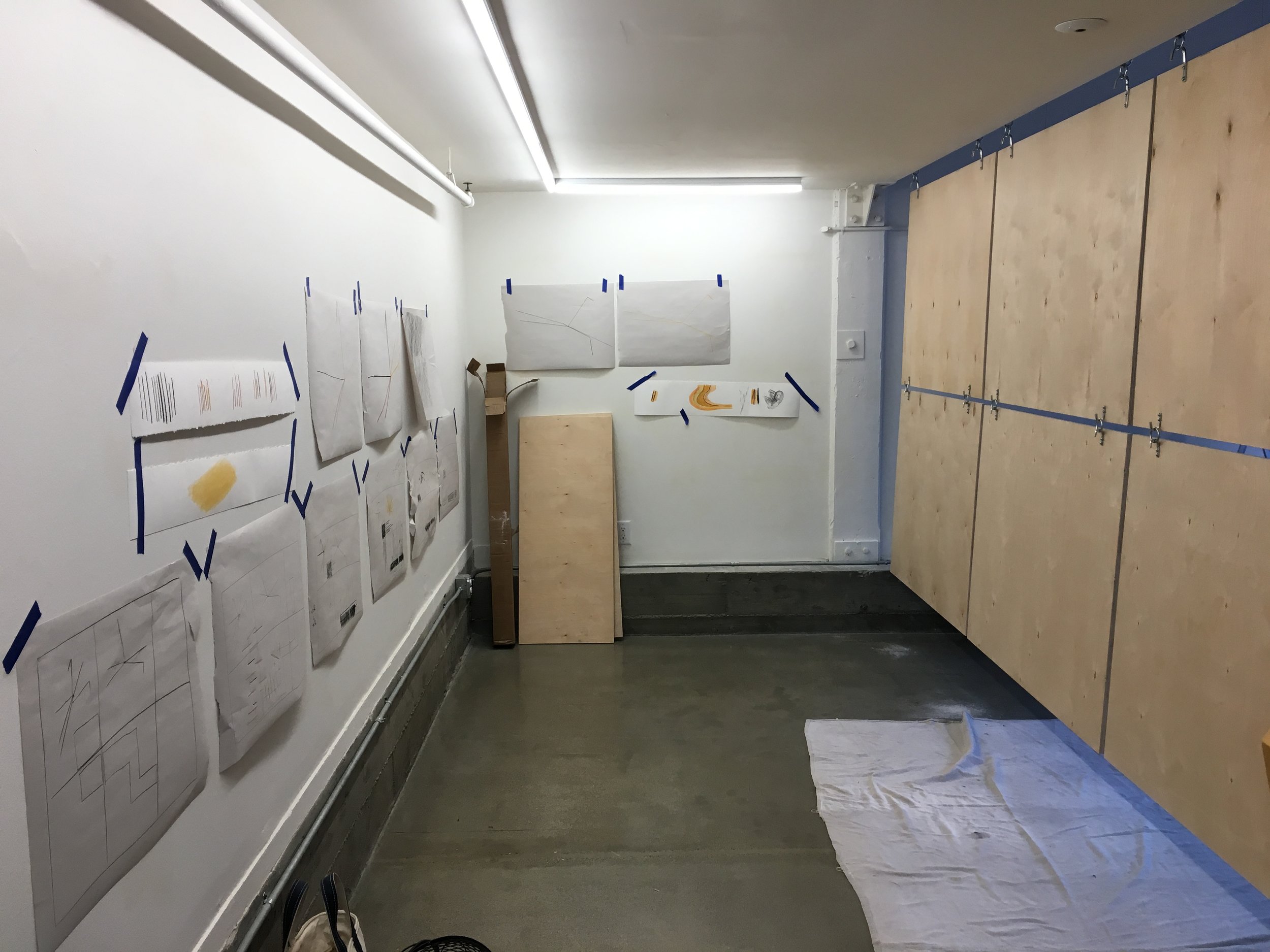
Similarly, in this artwork I am remediating a textual document into a visual graphic form, but, burrowing into Drucker’s line of thinking, am intentionally eschewing the design of a default visual form of “map.” That is, I am not interested in consistently preserving attributes such as distance, direction, scale, and size. I am experimenting with visual forms that express geographic knowledge, but that through their making exhibit ways of understanding space in the Mojave that is not about wayfinding, positivist knowledge, or colonialist motives.